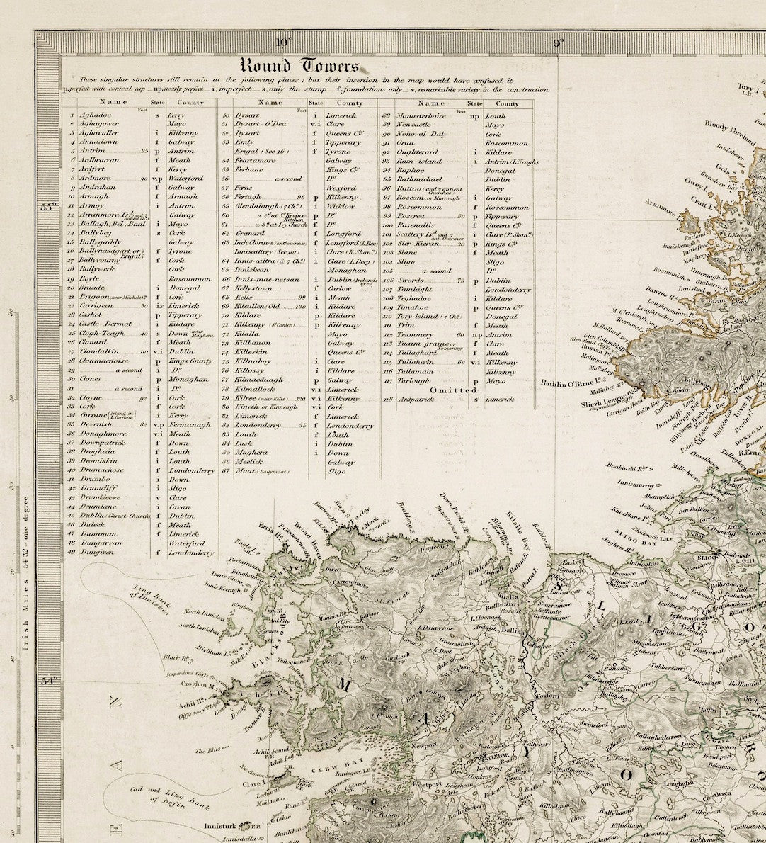
Published by The Society for the Diffusion of Useful Knowledge, this map was originally part of an atlas and printed in two parts on two separate pages. Superbly detailed with relief shown as hatching. The original was hand coloured showing provincial borders. Two tables list "Round Towers" and provincial statistics.
| Cartographer | J & C Walker |
|---|---|
| Date | 1838 |
| Dimensions (mm) | 467 x 589 |
| Engraver | J & C Walker |
| Place | 59, Lincolns Inns Fields, London |
| Publisher | Society for the Diffusion of Useful Knowledge |